Our Story
Making the world's transit easier to read
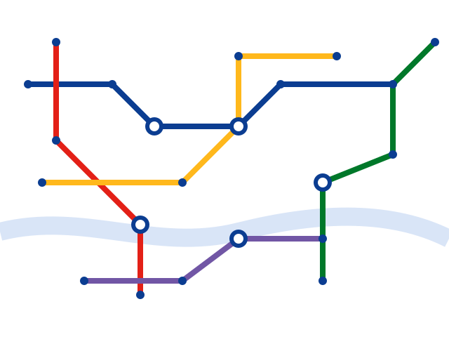
tube map started with a simple frustration: real transit maps are often cluttered, inconsistent, or hard to search on the go. So we set out to redraw the networks people rely on every day into something clear, searchable, and consistent — starting with the real London Underground.
What Drives Us
Our mission and values
Everything we build comes back to one goal: helping people move through unfamiliar networks with confidence.
Accuracy First
Every map is redrawn from real, published network data and reviewed regularly, so what you see reflects the actual system.
Accessible By Design
High-contrast colors, scalable text, and keyboard-friendly controls mean the map works for everyone, not just some.
Consistent Everywhere
One clear visual language across every city we support, so switching networks never means relearning a layout.
Behind the Map
Built by transit riders, for transit riders
Real network data
We start from published line and station data rather than approximations, beginning with the full London Underground.
Independent & ad-free
tube map isn't affiliated with any transit operator — we're an independent tool focused purely on clarity.
Shaped by feedback
Features like offline saving and line search exist because riders told us what they needed underground.
Growing city by city
We're steadily expanding real, searchable coverage beyond London to more of the world's busiest metro and subway networks.
See Supported Cities