Real Live Transit Data
Search the real London Underground map
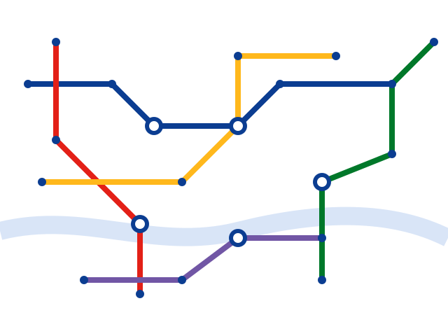
tube map is built on the actual TfL Tube network — all 11 lines and 220+ real stations. Search any station by name, see every line it sits on, and trace your interchange instantly.
Try It Now — Real Data
Search the real London Underground
Type any real station name below — every result is pulled from the actual Tube network and highlighted live on the map.
Core Capabilities
Everything you need to read a network at a glance
Built for commuters, travelers, and planners who need clarity, not clutter.
Interactive Zoom & Pan
Zoom into dense interchange stations or pan across an entire network without losing clarity.
Multi-City Support
Switch between dozens of metro and subway systems from a single, consistent interface.
Offline Access
Save maps for offline viewing so you're never stuck without a route underground or abroad.
Line Search
Instantly filter and highlight individual lines to trace a route from end to end.
Station Lookup
Search any station by name and jump straight to it, complete with interchange details.
Downloadable Maps
Export a clean, high-resolution copy of any map for printing or sharing with your team.
Simple Process
How tube map works
From choosing a city to sharing your route, four simple steps.
Choose a City
Pick from dozens of supported metro and subway networks worldwide.
Search or Browse
Look up a specific station or line, or simply explore the full map.
Zoom & Trace Your Route
Zoom into interchanges and trace your journey stop by stop.
Save or Export
Download the map for offline use or share it with a link.
Global Coverage
Supported cities & networks
A growing library of metro, subway, and light-rail systems.
London
11 lines · 272 real stationsNew York City
25 lines · 472 stationsTokyo
13 lines · 285 stationsParis
16 lines · 308 stationsBerlin
10 lines · 173 stationsSingapore
6 lines · 137 stationsMadrid
12 lines · 302 stationsToronto
4 lines · 75 stationsWhy Choose Us
Why use our tube map tool
Consistent, readable design
Every network is redrawn using the same clear visual language, so switching cities never means relearning a layout.
Built for real journeys
Fast station search and line tracing help you plan interchanges before you're standing on the platform.
Works without a connection
Save maps locally so poor signal underground never leaves you stranded.
Accessible by design
High-contrast colors, scalable text, and keyboard-friendly navigation throughout.
Built for frequent travelers
Whether you're commuting daily or visiting a new city for the first time, tube map keeps the network simple to read and quick to navigate — right from your browser.
Try the SearchFrequently Traveled
Popular real routes & lines
A look at some of the most searched real journeys on the London Underground.
User Feedback
What travelers & commuters say
Questions
Frequently asked questions
Select your city from the Supported Cities section, or use the real-time search bar right under the hero to jump straight to any London Underground station.
Maps are redrawn in a consistent tube-style format based on published network layouts and are reviewed regularly for accuracy, though line closures and short-term service changes may not always be reflected immediately.
We currently support 65+ metro, subway, and light-rail networks worldwide, with new cities added regularly. See the Supported Cities section for a sample list.
Yes. Any map can be saved for offline access, so you can view it without an internet connection while underground or traveling abroad.
Maps are reviewed and updated on a rolling basis whenever a network publishes a significant change, such as a new line or station.
Yes. Maps include labeled stations, keyboard-friendly controls, and high-contrast color combinations designed to meet accessibility best practices.
No account is required. All core viewing, search, and export features are available directly in your browser.
Yes, any map can be exported as a high-resolution image suitable for printing or sharing with a team.